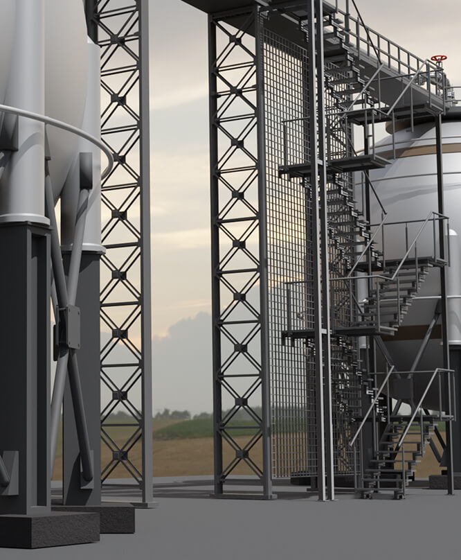
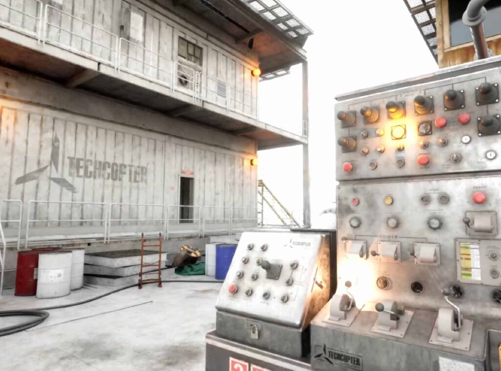
VR Training

01
What is

Drone LiDAR Topographic Surveying & Photogrammetry

What is LiDAR?

LiDAR, a remote sensing technology, operates by emitting laser pulses instead of using traditional photo cameras and photogrammetry. It captures responses to these pulses, generating precise and efficient data points for mapping areas. The resulting point cloud facilitates the review and construction of models in specialized software. This process is rapid and produces high-quality topographic maps. Additionally, the point cloud can be colored (RGB) using an additional photo sensor. Utilizing LiDAR for aerial surveys enables swift and safe data collection for your site.

Deploying a UAV with a LiDAR sensor (drone LiDAR) enables accurate topographic readings from the air, generating 3D models with centimeter-level precision. This technology detects ground topographic features unattainable by traditional methods. Aerial LiDAR sensing is invaluable to industries requiring mapping and geospatial data collection services. We offer assistance in integrating aerial LiDAR sensing into your business strategy.

What is Photogrammetry?

In essence, photogrammetry is a method of measuring distances using photographs, processed with specialized software to create accurate and realistic models of the world. These models, such as orthomosaic maps and 3D models, find diverse applications in construction planning, ongoing project management, and marketing material. The effectiveness of photogrammetry hinges on the number of images captured, which can range from hundreds to thousands depending on the size of the site and desired depth and accuracy. Drone pilots play a crucial role in determining the optimal flight altitude to achieve the necessary ground sample distance. Additionally, setting up proper overlap on each picture ensures seamless stitching of images in the software, resulting in comprehensive and precise outputs.

02
Drone Scanning

Makes Perfect Sense for Businesses

On top of a wide variety of use cases, drone scanning is also a cost-effective way to gather images and data. This makes it perfect for businesses that need to quickly share information with decision-makers and planners from remote locations. With the possibility to leverage real-time visibility, decisions can be made and implemented in a very short amount of time. In this sense, drones make the business world smaller and more manageable.

And manned drone operations are just the beginning of what’s possible for businesses. With the ever-improving development of autonomous drones, businesses will be able to deploy their drones to scan and photograph data on a routine basis soon. The potential for automated data gathering in real-world situations presents a huge potential for companies to streamline their data gathering activities.

Companies all over the world still rely on manual data entry and typing to gather data in their everyday processes. Human typing and data entry has inherent problems as forms of data collection. Most importantly, it’s almost impossible for any individual to have 100% accuracy during these processes. Typing mistakes can occur at any point and can have multiple causes such as distraction, fatigue, and stress.

Features
03
Drone Scanning

Capturing Device's Specs

Guide variable rate applications

The Mavic 3M captures multi-spectral images of crops for tasks like rice fertilization, cotton growth regulation, and potato foliar fertilizer spraying. DJI Terra or the DJI SmartFarm Platform can generate vegetation index maps, aiding in variable-rate application to optimize yield, reduce costs, and preserve the environment.

Intelligent field scouting

The Mavic 3M conducts automatic field scouting, uploading images to the DJI SmartFarm Platform in real time via 4G. It detects abnormalities and conducts intelligent analyses like cotton seedling identification and rice production testing, aiding in real-time crop management on up to 70 hectares of farmland by a single user.

Orchard mapping

Together with DJI Terra or DJI SmartFarm Platform to reconstruct high-resolution orchard maps, automatically identify the number of trees, distinguish trees from other obstacles or objects, and generate three-dimensional operation routes for agricultural drones, making operations safer and more efficient.

Terrain-follow aerial surveying

The aircraft features multiple wide-FOV vision sensors that accurately detect obstacles in all directions for omnidirectional obstacle avoidance. The terrain-follow aerial surveying can be easily performed in steep-slope landscapes.

Accurate Images

Mavic 3M with RTK module for centimeter-level positioning. Flight control, the camera, and the RTK module sync in microseconds to accurately capture the location of each camera’s imaging center. This enables Mavic 3M to do high-precision aerial surveying without using ground control points.

Orchard mapping

Together with DJI Terra or DJI SmartFarm Platform to reconstruct high-resolution orchard maps, automatically identify the number of trees, distinguish trees from other obstacles or objects, and generate three-dimensional operation routes for agricultural drones, making operations safer and more efficient.

Sunlight Sensor

The built-in sunlight sensor captures solar irradiance and records it in an image file, allowing for light compensation of image data during 2D reconstruction. This results in more accurate NDVI results, as well as improved accuracy and consistency of data acquired over time.

Accurate Images

Mavic 3M with RTK module for centimeter-level positioning. Flight control, the camera, and the RTK module sync in microseconds to accurately capture the location of each camera’s imaging center. This enables Mavic 3M to do high-precision aerial surveying without using ground control points.

Reliable Battery Life

Ultra-long battery life, fast bursts. With a flight time of 43 minutes, a single flight can complete mapping operations over an area of 200 hectares.